PSAI Underwater Cave Survey and Cartography Manual
The PSAI Underwater Cave Survey and Cartography Manual is designed provide divers with information to properly use the tools required by a diver conducting cave survey and the tools used to take the data-points and other dive survey media, data and information to produce and accurate map of an underwater cave (in whole or in part) to the stated grade on the final map.
134 pages
NOW IN FULL COLOR !
MANUAL CONTENT INCLUDES:
- History of PSAI’s Cave Survey and Cartography Program
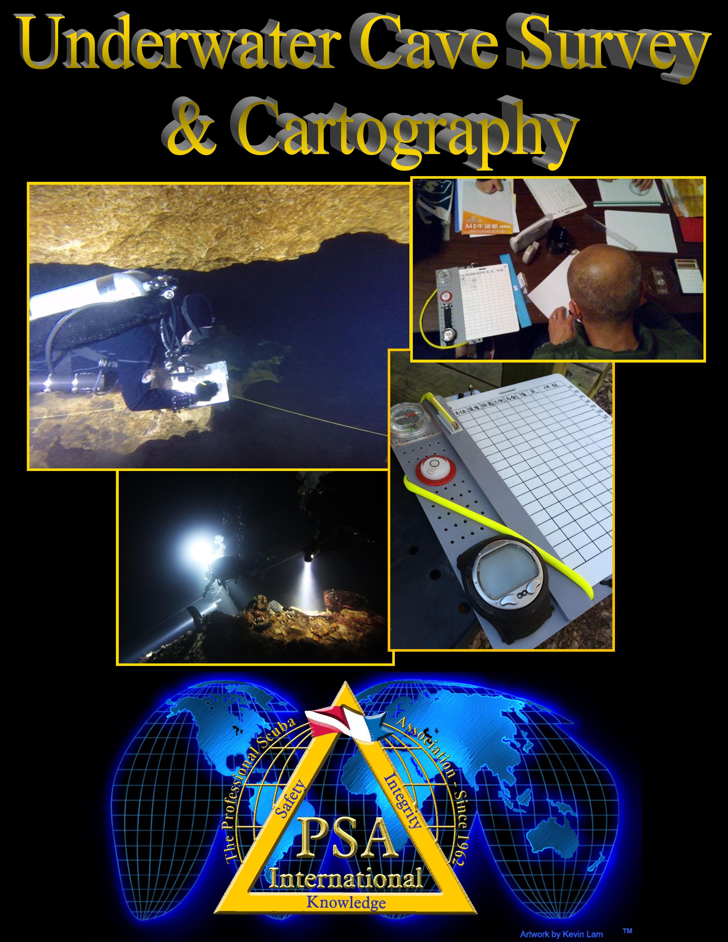
- Equipment for Cave Survey and Cartography
- Objectives and Benefits of Cave Survey and Cartography
- PSAI Cartography Accuracy Grades
- Aspects Influencing the Degree of Detail on a Cave Map
- Dive Planning and Safety
- Line Protocols for Cave Survey and Mapping
- Cartography Symbols for Maps of Underwater Caves
- The Cave Survey Slate
- The Wall Survey Slate
- The Survey Project and Data Notebook
- Plotting Survey Data
- Surveying a Large Room or Chamber
- Inking the Map
- Finalizing the Map
- Line Protocols for Permanent Guidelines
PSAI is the very first certification agency to offer a complete Underwater Cave Survey & Cartography training program (including published manuals, course slide presentations for the instructor, standardized exams, and more.